 |
"Guys, why don't you try out the route I was thinking of doing a gravel race on?"
Sure, why not. For the last Sunday before cyclocross kicks off at Calabogie on September 23rd, why not ride some gravel Grant's been whispering about. I sketched out an extended approach to his 100k loop, bumping the distance up to 160k, but in the end, Pascal, Rodd, Chris and I agreed it would be more prudent to tackle the 100k alone, you know, in case there were issues.
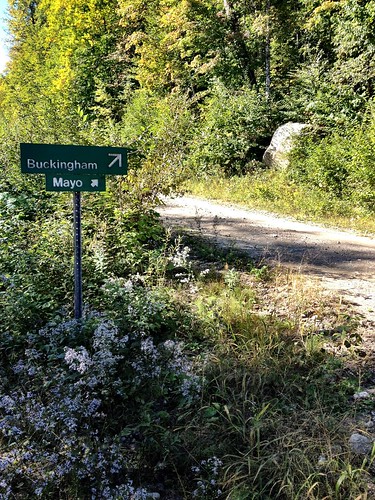
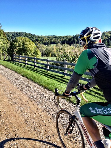
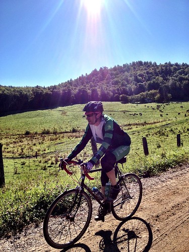
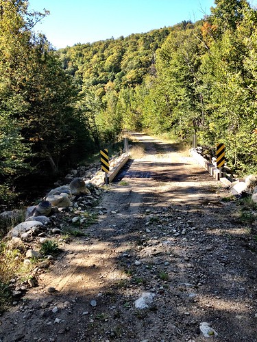
Our launch point was Mayo, a hamlet the barely registers on the map, about 30 minutes drive from downtown Ottawa. Right from the go the landscape was beautiful. Nice cottages, views, a river, all very pleasant. Within no time we were on gravel and ascending. Cottages became farms, then we left civilization behind. We were in Papineau-Labelle.
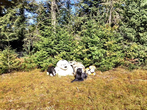 |
| We were supposed to follow the driveway these beasts were guarding to a maybe-road further on.....ummmm, pass. |
A year or two ago I had an idea: ride to Tremblant from Ottawa on gravel roads via the Papineau-Labelle Nature Reserve. P-L does not show up on google maps or other mapping media we commonly use. I had to dig to find information on the Reserve, which included purchasing a backroads mapbook from the World of Maps on Righmond Rd. The Reserve appeared massive, but what were the roads and trails really like? Was the route I'd highlighted in the book even rideable?
Pascal and I drove out one Saturday to do recon. We turned off the 309 and soon got into some pretty gnarly stuff. Baby-head rocks and lots of rough stuff. Not for all-road bikes, we concluded. 29ers, sure. So we aborted the plan and that was that.
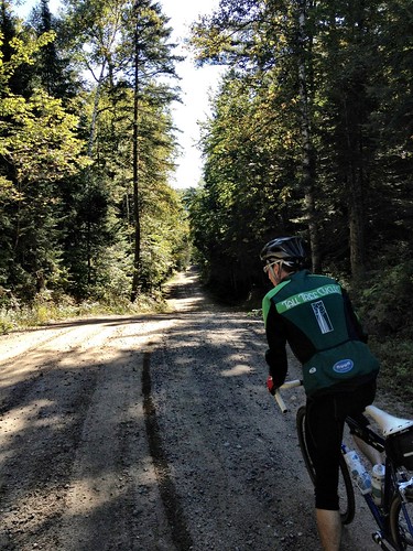
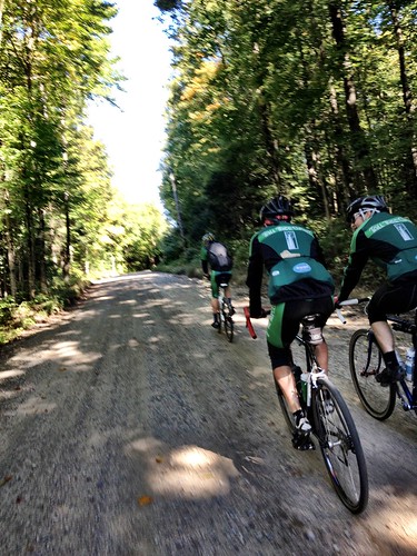
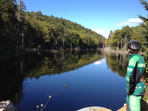
And then we were there. Following Grant's sketch, we were heading north on 'Route 1.' Backwoods, nothing but us and the road. I felt exposed, and I mulled over the sensation. We rode lots of dirt and gravel, why did this feel weird? Because there was nothing but the road, nothing for a long way. No signs of civilization aside from the odd boat locked by a lake, and, of course, the road itself.
Then there were trucks. Barreling down on us as we rode across the road. "CAR!" We dodged out of the way as the driver hit the brakes hard, skidding. Everyone fine, we rolled by and exchanged regrets; neither of us expected to see anyone else. Difference is we won't likely crush anyone with our bikes. The big white twincab pulled an atv and guns, as did his buddy behind. Great, hunters.
We cut onto Route 2 heading West and soon encountered more hunters. This time, sight lines were long. The first of two stopped to ask for directions to Kennedy Lake. We moved back to speak to his buddy in the second truck, sipping a beer, then a Red Bull. Comforting. On we went.
We knew we neared the highway as the road transitioned to hard pack. The downside to this surface is that rocks are now embedded, which tends to mean they cut tires. Sure enough, an invisible offender knicked my Grand Bois, deflating my precious latex tube. My spare suffered the same fate once aired, as I'd assumed I'd pinched, so in went the butyl big boy. "We're taking the highway back down." It was already getting into mid-afternoon, I was down two tubes; we'd had enough fresh tracks for one day. Agreed.
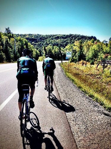
A casse croute stop along the 309 satisfied the guys' hankering for grease. My fries were less than inspiring, but not offensive enough to inhibit the return leg of about 50k on the highway, repaved last year with a generous shoulder. Directions from a francophone local sporting an Winnipeg Jets shirt (tricked Chris into thinking he was anglo) helped us finish off the loop on backroads rather than more highway.
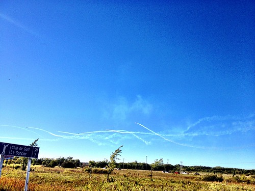 |
| Snowbirds bedazzling the sky |
Here's the first leg, followed by the second. I had to change courses on my Garmin, on account of our disinterest in trying the road guarded by the menacing cast of beasts above. The whole thing is here.




No comments:
Post a Comment